
Articles ·
How to turn your photos into a map of all your trips
Your photos already know where and when you travelled. Here is how they become trips automatically, with a map, countries and distances.
Every phone photo records when and where it was taken. Together, your photos are a complete travel diary that nobody has written down yet.
Apple Photos
The Photos app on iPhone creates Memories and shows photos on a map. It’s lovely, but it won’t tell you how many countries you’ve visited, how far you travelled this year, or exactly when that trip to Vienna was. And it only sees photos in your Photos library, not the ones you keep in another cloud.
With Apollo: trips that build themselves
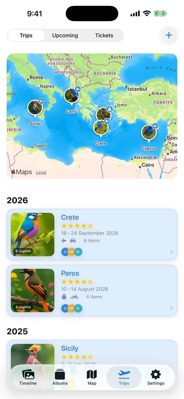
Apollo reads the photos in your cloud and detects your trips automatically from their dates and locations. You just give them a name.
- Each trip has a map, its days and its photos.
- Stats for distance and countries, by year or overall.
- Boarding passes and ferry tickets: scan them with the camera or from a PDF, and they’re filed under the right trip.
- Reminders before every upcoming trip.
A small tip
Trips need photos with a location. If your camera had no GPS, add it in bulk with Iris on your Mac. One search on the map is enough for all the photos of a trip.